
St. Cloud Street Directory Walkthrough
A St. Cloud street directory search works best one parcel at a time. A property report can identify a tax owner and the physical lot. The map provides the parcel boundary and nearby addresses. A recorded deed supplies title history, while dated directories can add an occupant clue. Each source serves a different purpose, so a matching street number alone is not proof that a particular person is at the address now.
Keep a short research log as the street segment develops. Record the exact address format, parcel ID, legal description, report date, and each document date. That is especially useful in St. Cloud because a mailing address, a situs address, and an older street name can point in different directions.
- Enter the St. Cloud physical address in the city property map, select the correct parcel, and save its PIN, situs address, owner name, and report date.
- Open the Stearns GIS viewer, zoom to the same street segment, and click the parcel boundary. Save adjacent parcel IDs rather than assuming map labels describe everyone connected with the block.
- Compare the county property report with the city result. The county search accepts part of an owner name, address, or parcel ID, which helps when the street format differs.
- Use the legal description and current owner to locate the acquisition instrument in LandShark. The seller on that instrument becomes the next title lead if history is needed.
- For a dated household clue, check the historical directory route and pair the result with another record. A directory occupant is not automatically the parcel owner.
Note: MNVotes is an individual registration-status tool, not a browseable St. Cloud street roster.
St. Cloud Address Search Fields
The city and county systems begin with related but different address tools. The city Property Search lets a user select a parcel after entering a physical address, PIN, STC Geocode Service value, or ESRI World Geocoder term. The county parcel search accepts partial text. Try both when a St. Cloud address has an abbreviated direction, an alternate street spelling, or an older record format.
The parcel selected in the city map opens a Single Feature window with available blue report buttons. County property information is working-file appraisal data and is updated continuously, so the report date belongs in any street directory notes. Neither interface turns an owner name into a complete list of people at a location.
| Control | Type | Use in St. Cloud |
|---|---|---|
| County Search | Text / autocomplete | Accepts any part of a parcel ID, property address, or property owner. |
| City map criteria | Selector | Choose Physical Address, PIN, STC Geocode Service, or ESRI World Geocoder. |
| PIN | Text | Enter without punctuation, then select the returned parcel. |
| Address | Text / autocomplete | Use the physical or situs address and confirm the map highlight. |
| Report buttons | Result action | Open available reports after selecting the parcel. |
| Property terms | Acknowledgment | Agree before accessing the county property-data system. |
The St. Cloud assessor instructions show the map’s address, PIN, geocode, and geocoder choices.
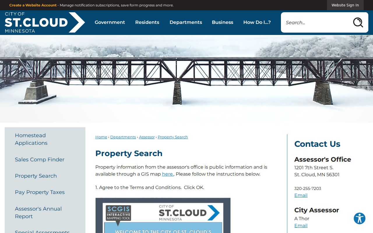
The visible search modes make it easier to test an address against the parcel instead of relying on a street label alone.
St. Cloud Street Map Geometry
The Stearns County GIS Property Viewer is the practical map tool for walking a St. Cloud street. Its search box can use Parcel ID, Property Address, or Esri Local Geocoder, and a map click updates the information area and lower tables. Layer groups, aerial imagery, and the selected parcel make it possible to distinguish one lot from the next before asking for a deed or permit record.
For a street segment, the viewer provides Point, Line, Polygon, Rectangle, and Circle draw tools. The mailing-label function can buffer a selection and return Owner, Resident, or Both, with a limit of 1,000 parcels in a selection or export. Those labels are parcel-level clues. The county warns that an owner mailing ZIP can be outside the parcel ZIP or state, and that a resident or property address may not be valid for postal delivery.
The public GIS viewer supplies the parcel geometry used for a St. Cloud street directory search.
Zooming and clicking parcels preserves the distinction between a mapped lot and a claim about current residents.
St. Cloud Street Records Compared
Address-keyed sources answer narrow questions. In St. Cloud, the assessor report is a current property reference, the GIS map supplies geography, LandShark follows recorded instruments, and Building Safety can supply a dated permit-file trail. Historical directories and the voter-information process have more limited roles. Combining dates and identifiers is more useful than trying to turn one record type into a complete street-by-street list.
| St. Cloud record | Keeper | What it can establish | Access route |
|---|---|---|---|
| Current parcel report | City assessor / Stearns Property Search | Owner, parcel or PIN, situs and mailing addresses, values, class, reports | City and county maps; city assessor office |
| GIS parcel map | Stearns GIS / city map | Parcel shape, nearby parcels, layers, aerials, label choices | Public viewer; selection/export capped at 1,000 parcels |
| Recorded instruments | Stearns Recorder LandShark | Parties, recorded document, legal description, paid image access | Fee portal, recorder counter, or written request |
| Permit history | St. Cloud Building Safety | Address-specific project and permit clues, subject to the file | Reports from 2011 onward or a data request |
| Historic directories | GRRL, Minnesota Digital Library, library leads | Dated occupant, address, and household notation clues | Scans, shelf, microfilm, or library request |
| Voter information | County elections / Secretary of State | Limited public-list fields or an individual’s status | MNVotes or written public-list request with certification |
Stearns Property Information is a useful second access point when the city map and county parcel search need comparison.
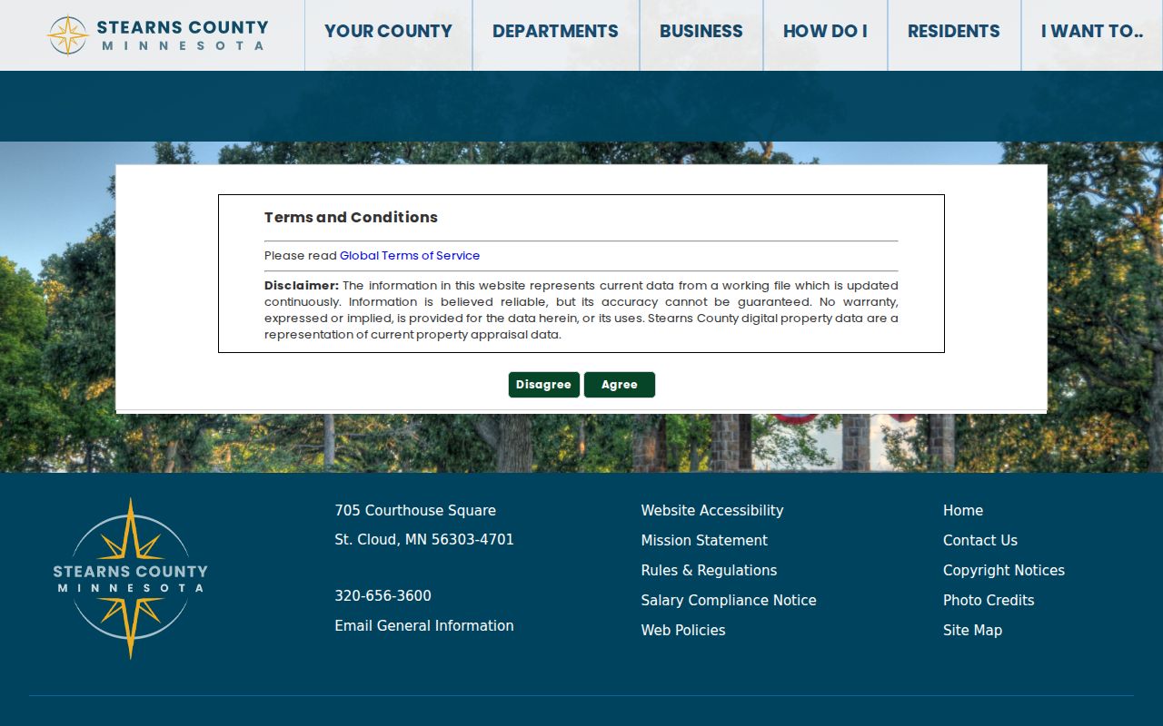
The county property gateway is an appraisal and parcel reference, so its owner and address fields need careful reading.
St. Cloud Address Record Terms
Old and current St. Cloud records use several address terms that are easy to confuse. Recording these terms exactly makes a street directory search easier to repeat, especially when an address has changed style or a property report lists a contact location elsewhere.
- Parcel
- A mapped unit of land identified by a PIN or PARID. It anchors the map and property report.
- Situs address
- The physical location of the parcel. It is different from an owner’s tax-mailing address.
- Plat
- A recorded map that lays out lots, blocks, streets, or subdivisions. It helps connect an address with a legal description.
- Legal description
- The lot, block, subdivision, or other land description used in recorded documents. It is often the better bridge when street wording changes.
- Criss-cross directory
- An address-first directory arrangement. The exact St. Cloud run is not confirmed, so use it only when a library volume supplies that format.
A parcel number is not a code to decode into a lot or block. St. Cloud and Stearns records direct researchers to the property report, recorded plat, and legal description for that information.
St. Cloud Deeds by Address
LandShark is Stearns County’s recorded-land system, not a modern street-address directory. Start with the current parcel, then use the owner’s acquisition instrument, document date, and legal description. The prior seller becomes the next historic title lead. Searching that person as a grantee, while keeping the same legal description in view, walks the ownership line backward more safely than a broad street-name search.
Stearns County LandShark says its archive reaches back to 1855, but historical preservation and conversion remain ongoing. The Recorder’s counter and integrated Land Records Management system are the local fallback when an online result or image is not available. Occasional access is listed at $10 per session plus $4 per image; monthly access is listed at $50 plus $2 per image. The terms prohibit automated downloading and data mining.
The LandShark deed index is the official recorded-document route for a St. Cloud street directory search.
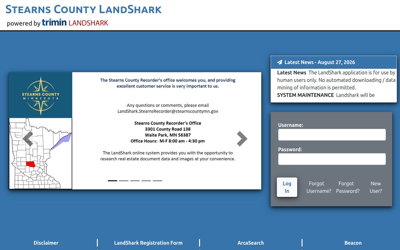
Use the document and legal description to confirm a parcel connection before drawing conclusions from a party name.
Access fallback. A LandShark maintenance notice for August 31 through September 1, 2026 makes the Recorder counter, contact route, and written-request option important when the portal is unavailable.
St. Cloud Permit Address Trail
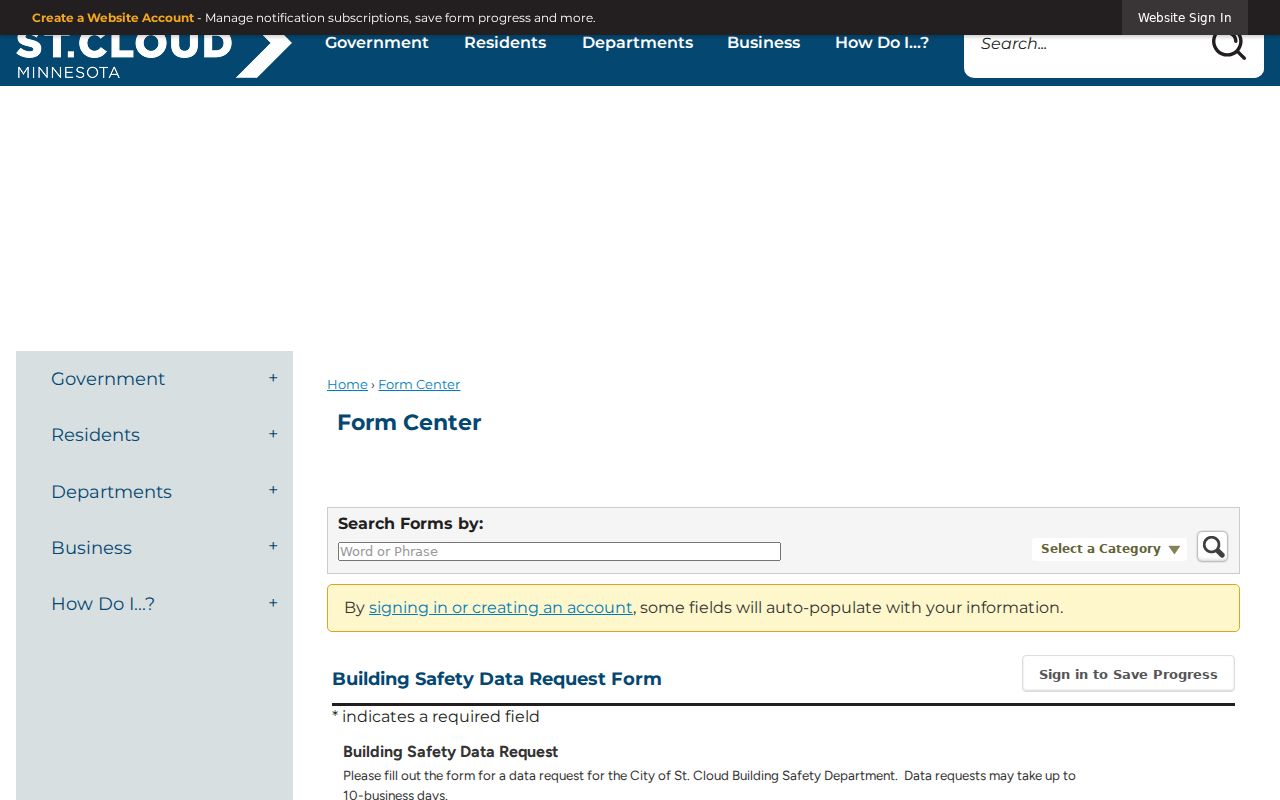
St. Cloud Building Safety provides a separate path for address permit history. Monthly and year-end permit reports begin in 2011, while a fuller address history requires the city’s Building Safety Data Request Form. One address is requested per form. The request can name all permit types or a narrower project and date range, which is useful when a street directory search needs to date an addition, roof, mechanical change, or new construction.
The form offers email, mail, in-person copies, or in-person file viewing. The city states up to 10 business days for the request. Limited electronic transmission is free, paper copies cost $0.25 per page and require prepayment, and plans or specifications can be view-only because of copyright. No official searchable St. Cloud code-enforcement address portal was located, so a specific city request is the appropriate fallback.
The Building Safety request form shows the address-specific request and delivery choices.
A permit file can date a project at a parcel, but it should not be used to identify every person connected with the address.
Note: Describe the address and record range precisely so the city can locate the correct St. Cloud file without guessing.
St. Cloud Voter Address Limits
The MNVotes form is designed to confirm an individual’s registration status. It requires first name, last name, birthday, an address-search path, city or township, house number, and standardized street, with a unit number when applicable. It updates nightly. A mismatch directs the user to the county election office rather than opening an address browse.
Minnesota’s public voter-information list is a different process under Minn. Stat. § 201.091. It may contain name, address, year of birth, voting history, and certain optional fields, but inspection or copying requires identification and a written permitted-use statement. Date of birth and government ID numbers are excluded, and safety withholding can remove a name. These restrictions mean the voter route cannot serve as an unrestricted street directory.
| MNVotes field | St. Cloud search rule |
|---|---|
| First and last name | Both are required; invalid characters are rejected. |
| Birthday | Required exact date or year information. |
| ZIP or county path | Choose a valid ZIP or Stearns County before the address fields. |
| City, house number, street | Required; the street is selected in standardized form. |
| Unit | Required after selecting the apartment or unit option. |
St. Cloud Historic Street Names
Modern search results can miss an older St. Cloud record because the city did not begin as one simple grid. Upper, Middle, and Lower Town were separate early settlements that united in 1856, and Middle Town was platted in 1854. Ravines and Mississippi crossings also shaped the early avenues and blocks. Historic maps and district studies are useful context when a current street query does not find an older reference.
The city’s 1869 historic context identifies Washington Avenue South as 5th Avenue South and Richmond Avenue as 6th Avenue North. Treat those as source-specific crosswalk terms, not proof of a citywide renumbering in a particular year. No verified blanket renumbering ordinance or date was located. For difficult cases, search both historic terms, compare the parcel and legal description, and ask Planning or Engineering to resolve a current address question.
St. Cloud Street Privacy Limits
A St. Cloud property owner is not automatically the person currently at a parcel, and no public address system provides a complete list of every household member, guest, utility customer, or delivery recipient. Driver and vehicle data is private under Minnesota law and the federal DPPA. Safe at Home locations, nonpublic voter information, and protected court or vital-record information also remain outside an ordinary address search.
Use St. Cloud street records for personal history, family history, property context, or civic curiosity. Do not use them to monitor, threaten, repeatedly contact, or expose another person. A public record does not remove Minnesota’s harassment and stalking protections, and uncertainty about a record should be checked with the custodian that created it.
Lawful use. Use St. Cloud address records carefully and lawfully. Harassing, stalking, intimidating, or trying to expose a protected person is prohibited.