
St. Cloud Neighbors: Block Sources
A St. Cloud block search works from the parcel outward. The county map identifies the anchor parcel and the parcels that touch it. Property reports explain a selected parcel’s title and tax details. Recorded instruments can answer a narrow ownership-history question. Neighborhood contacts help a person find a public meeting or the correct local area, but they are not a household directory. The sources below keep those roles clear.
| Source | Block evidence | Access |
|---|---|---|
| Stearns County GIS | St. Cloud adjacent parcel geometry, parcel IDs, layers, aerials, and owner, resident, or both mailing-label choices | Public viewer; click, draw, or buffer; selection and export cap of 1,000 parcels |
| City Property Search | St. Cloud parcel, physical address, PIN, geocoder, and zoning-map context | Public city map and assessor contact |
| County property reports | St. Cloud owner, situs and mailing address, value, class, exemptions, and history | Public property search with a current-data disclaimer |
| Recorder instruments | Selected St. Cloud parcel deeds and legal descriptions | LandShark account or Recorder counter |
| MNVotes and voter-list law | Legally limited St. Cloud voter fields tied to addresses, not an open block browse | Individual own-status lookup or written public-list request with use certification |
| Building Safety | St. Cloud address-specific permit or work history and listed participants | Reports from 2011 forward; historical data request may take up to 10 business days |
| Community resources | St. Cloud neighborhood names, fact sheets, meeting paths, historic context, and watch-program contacts | City pages and community contacts, not a member roster |
| Neighborhood Watch | St. Cloud block participation threshold and recognized-group meeting path | City Police contact; no member roster |
| CMHC community files | Historical St. Cloud church directories, registers, minutes, and oral histories | SCSU Archives finding aids and contact |
The St. Cloud neighborhood resources page links community-building routes and the St. Cloud Neighborhood Coalition. Its St. Cloud neighbors image is a useful starting point for identifying the right local contact layer.
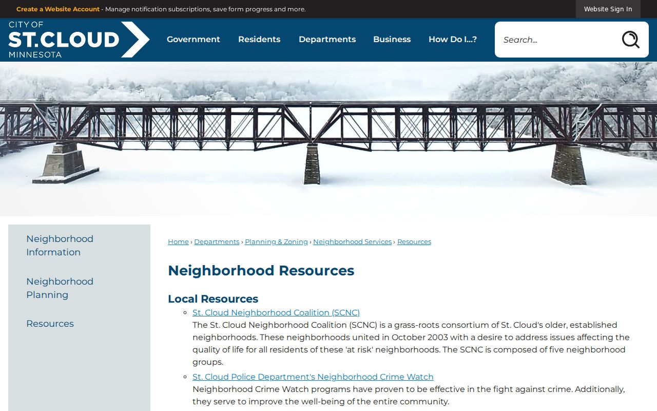
Those resources can help a resident find a neighborhood framework or participation route without presenting a roster of households.
Mapping Nearby St. Cloud Parcels
Stearns County Property Viewer is the most direct way to map the immediate block. Its search box can use Parcel ID, Property Address, or the Esri Local Geocoder. Type enough of an address for the available autocomplete, select the anchor parcel, and use the map or the right-side information to keep the parcel identity in view. The goal is the lots next to the address, not an entire named street.
- Find the St. Cloud anchor address or parcel, then record its parcel ID, situs address, and the map-selected lot.
- Click each parcel that immediately adjoins the selected parcel. The map updates its information and bottom tables for each selection.
- For a small block edge, use a line, rectangle, circle, polygon, or buffer in the mailing-label tool. Set the selection boundary before requesting results.
- Choose Owner, Resident, or Both only after deciding what each label can mean. Check a selected property report, then use a deed only if ownership history matters.
The GIS parcel viewer displays the map-based parcel selection used for St. Cloud neighbors research.
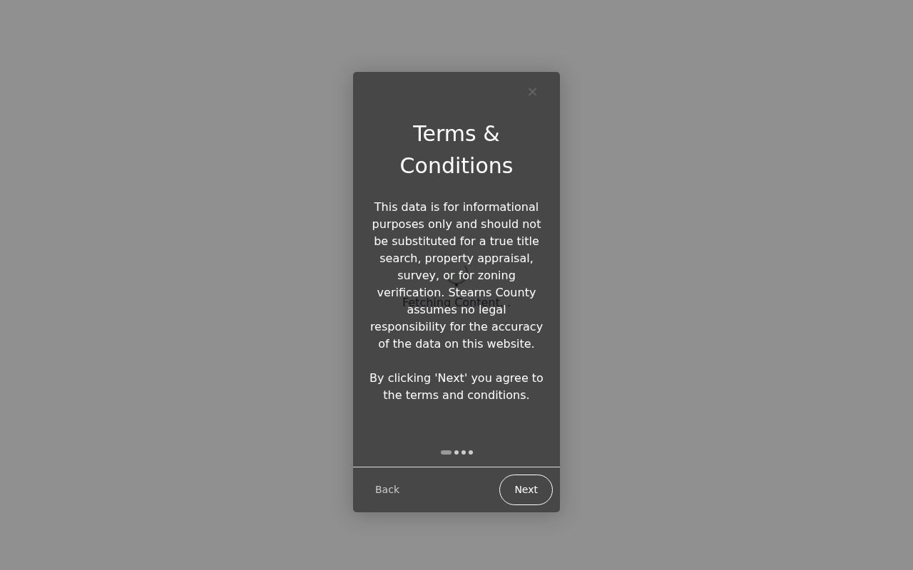
Drawing and measuring tools make the St. Cloud boundary explicit. They do not create a verified list of people living in the selected area.
For the complete record chain along a named street, follow the St. Cloud Street Directory. The immediate-block method should stop at the neighboring parcel boundary.
St. Cloud GIS Labels: Owner or Resident
The mailing-label feature offers Owner, Resident, or Both. That choice is important. Owner returns the property owner’s name and mailing address, which can be outside the parcel’s ZIP code or outside Minnesota. Resident returns the property address, which may not be a postal mailing address because a household can use a post-office box or receive mail elsewhere. Both expands the parcel lead, but it does not prove who occupies the home today.
St. Cloud Property Search provides a related city-facing view with physical address, PIN without punctuation, STC Geocode, and ESRI World Geocoder options. Select the suggested parcel and open its Single Feature report rather than assuming two similar addresses identify the same lot.
The city assessor instructions show the four search modes used to reach parcel information for this St. Cloud neighbors workflow.
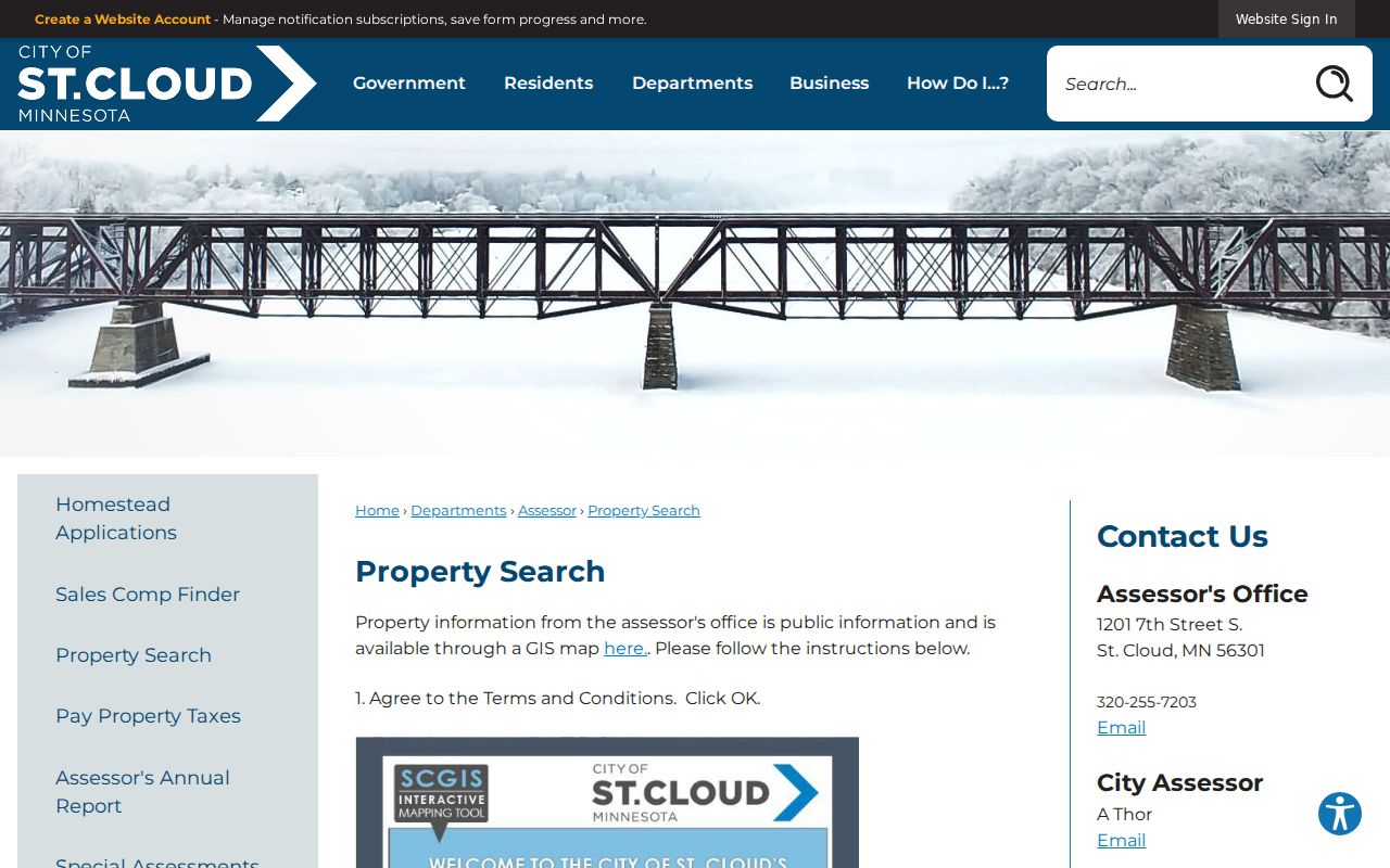
When the city and county views differ at an edge, retain the parcel ID and legal description and ask the relevant property office to clarify the record rather than guessing from a postal label.
Note: A homestead classification can be an owner-occupancy clue, but it is not conclusive evidence of a current household.
St. Cloud Neighbors Are Not All Owners
In St. Cloud, property ownership and nearby residents answer different questions. A deed, assessor report, or tax record may identify a person with title or a mailing address for notices. It does not enumerate renters, adult children, guests, caregivers, or every other person who may live at the property. A parcel may also be held by a trust, estate, or business entity. Treating the owner as the person next door turns a useful property record into a weak claim about a household.
| Official record route | What it can establish | What it cannot establish |
|---|---|---|
| GIS and assessor report | Parcel identity, situs, owner label, map context, class, and value information | Every person currently living at the address |
| LandShark deed record | Recorded parties, date, legal description, and ownership-history lead | Whether a recorded party still occupies the property |
| Community contact page | Public neighborhood or meeting route | A current membership or household list |
| Commercial compiled-data category | A lead that may combine public and other data sources | Current accuracy, source context, or official parcel status |
Official property systems show the custodian and the parcel basis for the result. Compiled commercial tools may be stale, conflated, incomplete, or fee-gated, and they do not replace the county or city record. For a correction in a public parcel record, contact the assessor or Recorder named by the record.
Voter Limits for St. Cloud Neighbors
MNVotes cannot browse a block. It checks an individual’s own registration status with that person’s first name, last name, birthday, and complete address path. It updates nightly and sends a mismatch to status instructions or county-election-office contact. It is not a shortcut for turning parcel lines into a list of voters.
Under Minnesota Stat. § 201.091, the separate public voter-information list may include name, address, year of birth, voting history, and certain optional information. Inspection or a copy requires identification and a written statement that the data will be used only for elections, political activities, or law enforcement. The public list excludes date of birth, government ID numbers, protected names, and presidential-primary party choice. Do not request that Stearns County create a new by-street list where it is not maintained in that form.
Safe at Home participants may use an assigned confidential address, and a voter can request name withholding for safety. A missing or alternate result is never a reason to infer a protected location.
St. Cloud Neighborhood Contacts, Not Rosters
Community records can add the human side of a block without turning people into a database. City Neighborhood Information identifies the core-neighborhood framework and supplies fact sheets and a story map. The coalition is an umbrella and community resource, not a published member directory. Neighborhood Watch is a participation path: a recognized group needs at least half of a block interested and at least two meetings each year.
| Organization or resource | Area or status | Contact or access route |
|---|---|---|
| St. Cloud Neighborhood Coalition | Grass-roots consortium and umbrella resource for established neighborhoods | City resource page; public member directory was not located |
| City core-neighborhood program | Eleven-neighborhood planning framework, including Lake George, Southside University, Northside-Hester Park, and more | Fact sheets and story map, not a resident roll |
| Neighborhood Watch | Block-level citizen and police participation program | City watch program; Crime Prevention Specialist and public meeting route |
| Historic-district community | Barden Park, Pantown, Southside, Commercial, and Southeast historic areas | City studies and maps; no public household directory |
| CMHC church and community files | Historical registers, directories, minutes, and oral histories | SCSU Archives finding aids, not current membership records |
These St. Cloud neighbors resources are best used to find a meeting, a planning contact, or historical context. They do not identify present household membership.
St. Cloud Blocks Have Local History
Geography can explain why a block search needs local context. St. Cloud’s historic districts include Barden Park, Pantown, Southside, Commercial, and Southeast. City historic-district records provide boundaries and building-era material that can clarify a parcel’s setting without identifying current occupants.
Pantown is especially distinctive. Samuel Pandolfo established it in 1917 for the Pan Motor Company, and its original homes were built from 1917 through 1919. The historic district has 48 buildings, including 26 single-family residences, and its irregular boundaries are defined by nearby north-side streets. That history gives an address researcher a building-and-block context. It does not create a current household record or settle an owner-versus-resident question.
Privacy Limits for St. Cloud Neighbors
Public parcel data is surrounded by private data. Renters and other household members are not indexed in the property report. Safe at Home locations, utility accounts, delivery routes, driver records, nonpublic voter fields, and restricted court or vital information are not a block-search resource. The Minnesota Safe at Home program supplies an assigned address that must be accepted while the participant’s real location remains private except in limited circumstances.
The Minnesota Government Data Practices Act allows access to public data but does not require an agency to create a new neighborhood list. Write a focused request to the custodian when a particular record is needed, and expect lawful redactions. Property, voter, and court information do not authorize repeated unwanted contact, surveillance, threats, or an attempt to expose a protected person.
Lawful use. Use St. Cloud neighbors records for property curiosity, community participation, reconnecting, or personal safety awareness. Harassing, stalking, or intimidating another person is prohibited under Minnesota law.
If a public record appears wrong, ask the office that maintains it to review the issue. In an immediate safety emergency, call 911. For non-emergency local concerns, the St. Cloud Police non-emergency number in the city’s Neighborhood Watch information is the appropriate public contact route.