
St. Cloud Previous Resident Sources
Previous residents leave different kinds of evidence in different eras. Recorded instruments can trace title, but they do not establish every person who lived at a location. Directories and census schedules can supply household clues, while maps and permit files date the site itself. The table keeps the St. Cloud source years separate so an address trail can start with the strongest record available for the time in question.
| Source | Years it covers | Where held | What it shows |
|---|---|---|---|
| Stearns deed archive | Archived records back to 1855; conversion ongoing | LandShark and Recorder counter | Grantor, grantee, recorded instrument, legal description, paid image access |
| St. Cloud directories | 1888-89, 1892, 1894-95, 1896-97, 1897-98, 1899-1900, 1901 online; other years uneven | Minnesota Digital Library, GRRL, library and museum leads | Address, occupant, household notation, and other printed details |
| Times obituary index | 1887-2019 | Great River Regional Library | Name, date and page, spouse, alternate name; microfilm provides the article |
| Sanborn maps | 1898, 1904, 1919 cited locally | Library of Congress and local microfilm leads | Building footprint, use, street geometry, and construction context |
| Building permits | Reports from 2011 onward; earlier files by request | St. Cloud Building Safety | Project, permit, inspection, and construction-date clues if held |
| Federal census | Decennial releases through 1950; 1890 schedules largely lost | NARA, FamilySearch, and library databases | Household, age, birthplace, and geographic context |
Start with the current parcel for a recent St. Cloud question. For an older address, test the nearest directory volume and map first, then use the deed trail to make sure the same land is involved.
The LandShark information page describes the Stearns archive and its recorded-document access.
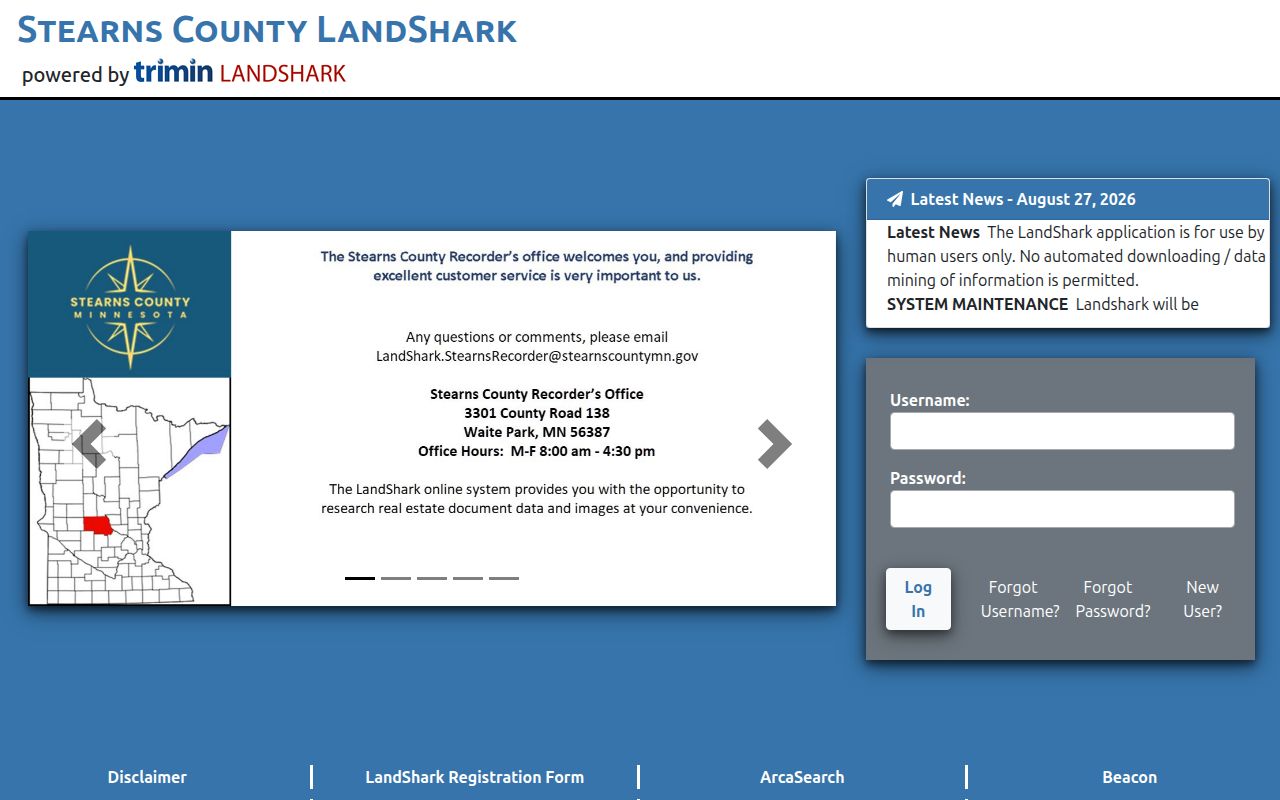
Its archive statement is useful context, but ongoing conversion means a missing online result is not proof that an older record never existed.
St. Cloud Address Baseline
Freeze the current St. Cloud parcel before moving backward. The city Property Search accepts a physical address, PIN, STC Geocode Service value, or ESRI World Geocoder term. The county search accepts part of an owner, address, or parcel ID. Save the selected parcel’s PIN or PARID, situs address, current owner, mailing address, lot or block where available, legal description, and the date of the report.
The mailing address is an owner-contact clue and can be elsewhere. The situs address marks the physical parcel. The legal description ties the parcel to deeds and plats even when a historic St. Cloud address is styled differently. Property data is current appraisal information, so a report can establish a starting point but does not prove a past household by itself.
For a current street-level comparison, use the St. Cloud street directory route to pair the city and county maps before turning to the historical trail.
St. Cloud Address Deed Chain
A deed chain follows ownership backward from the current acquisition instrument. Stearns LandShark is indexed around parties and recorded instruments, not a modern street address alone. The parcel’s legal description, lot and block, PIN, or Torrens reference are the bridge when older documents use another address form. Keep recording date separate from execution date where both appear.
- Find the current owner’s acquisition deed or other recorded instrument in LandShark using the property report, document date, and legal description.
- Record the grantor, grantee, document or instrument number, recording date, document type, legal description, and any prior-instrument reference visible on the index or paid image.
- Treat the seller, or grantor, as the next earlier owner lead. Search that person as a grantee in an earlier period while holding the same legal description in view.
- Repeat the sequence until the online conversion no longer supplies a useful result. Do not substitute a same-name result for the same parcel.
- Ask the Recorder for counter assistance, older deed books, microfilm, or a focused Minnesota Government Data Practices Act request when the online trail stops.
LandShark states an occasional remote session costs $10 and document images cost $4. Monthly access is listed at $50 with $2 images. The county also says the online system and its in-person Land Records Management system are integrated. A portal outage is therefore a reason to use the counter or Recorder contact, not a reason to abandon the St. Cloud chain.
St. Cloud Grantor-Grantee Terms
These terms keep a St. Cloud previous-residents search from reversing the title trail or mistaking an address clue for ownership evidence.
- Grantor
- The party conveying an interest in a recorded instrument. In an ordinary sale, this is the seller.
- Grantee
- The party receiving that interest. To walk backward, search a former grantor as a grantee for the earlier acquisition.
- Chain of title
- The sequence of recorded ownership instruments linked by parties, dates, and the same legal description.
- Legal description
- The lot, block, subdivision, or other land key in deeds and plats. It is more stable than a street label when names change.
- Criss-cross directory
- An address-first directory format that may connect an address to an occupant. Its exact St. Cloud year run is not confirmed.
- Enumeration district
- The census area used to organize an enumeration. It can help locate a place when a schedule lacks a modern street-number format.
Note: Capture the legal description at every link because a familiar name or street number can belong to a different parcel.
St. Cloud Resident-Year Pairing
Directories and census schedules provide the household layer behind an ownership trail. The Minnesota Digital Library has free scans of St. Cloud volumes for 1888-89, 1892, 1894-95, 1896-97, 1897-98, 1899-1900, and 1901. The 1896-97, 1899-1900, and 1901 volumes expressly include Sauk Rapids and Waite Park, so confirm the municipality as well as the street. Local references describe directories from 1888-89 onward, but gaps are not fully identified.
Use the directory as a dated occupant lead. Its name, address, spouse notation, and other printed details should be compared with the parcel and deed record. The St. Cloud Directory Book has the collection-specific access routes without replacing the address-focused work here.
- Find the address or surname in the nearest directory year and record the volume, page, spelling, street number, and each household clue.
- Check the directory year before and after it. An appearance, departure, move, or name change narrows the period to test.
- Pair the closest entries with the 1900, 1910, 1920, 1930, 1940, or 1950 census as appropriate. Compare the householder, spouse, children, age, birthplace, and geographic context.
- Use ward, township, block, or enumeration-district context when a census does not show a familiar modern street address.
- Return to the deed’s legal description before treating the directory and census clues as the same St. Cloud place.
St. Cloud Address Map Clues
The locally cited 1898, 1904, and 1919 Sanborn maps help test whether a St. Cloud building existed and how the street pattern looked at the time. The Library of Congress 1904 Saint Cloud volume is public and contains 19 sheets. A map can show a building footprint, use, and surrounding streets. It cannot by itself name the people who lived there.
Use a map after the parcel and directory evidence are already in hand. A changed footprint can support a construction or alteration question, while a familiar block corner can test whether an old street reference aligns with the modern parcel. The local map is one check in a St. Cloud address trail, not a substitute for a deed or a dated household source.
St. Cloud Old Address Names
St. Cloud’s early geography can break a simple historical address search. Upper, Middle, and Lower Town were separate early settlements that united in 1856, and Middle Town was platted in 1854. In the city’s 1869 historic context, Washington Avenue South appears as 5th Avenue South and Richmond Avenue as 6th Avenue North. Search those paired terms when a current string does not find an older entry.
These are verified crosswalk clues, not evidence of one citywide renumbering on a known date. No official blanket renumbering ordinance or year was found. Compare historic maps, parcel descriptions, and the old town context before carrying a St. Cloud name match from one street form to another.
St. Cloud Permit Address Dates
Building records can date a major change at an address. St. Cloud’s monthly and year-end Building Permit Reports begin in 2011. For a fuller address history, the Building Safety Data Request Form accepts one address per request and can ask for all permit types or a particular project and date range. It may provide a project description, date, number, or participant details depending on the file.
Electronic delivery is limited and free, paper copies are $0.25 per page with prepayment, and the city states up to 10 business days. Some plans and specifications are view-only because of copyright. These details make a permit record useful for dating a site, but not a stand-alone source for past residents.
The St. Cloud Building Safety request form is the official address-file route.
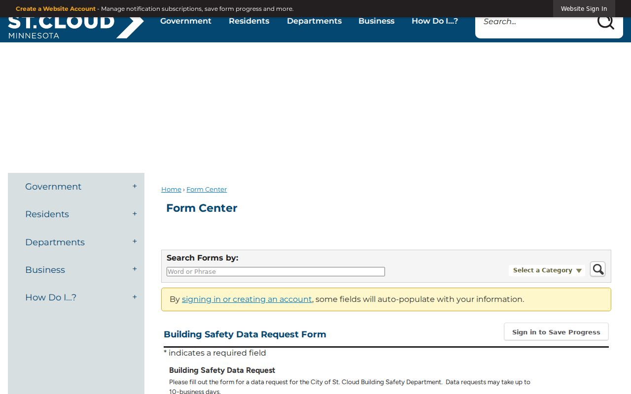
The form supports a focused record request when a project date helps establish the history of a St. Cloud address.
St. Cloud Home-History Links
The city resources page points to “Researching a St. Cloud Home,” historic studies, libraries, museums, and Minnesota Digital Library material. It is a useful local referral chain when a public database stops. Great River Regional Library can supply newspaper microfilm and its obituary index, while the Central Minnesota Historical Collection at St. Cloud State University holds regional family, church, and oral-history materials through finding aids and archive contact.
Pantown is a particularly helpful St. Cloud place clue. The historic district reflects Pan Motor Company residences built in 1917 through 1919 and includes 48 buildings, 26 of them single-family residences. Its boundaries use 8th Street North, 33rd Avenue North, 9th Street North, and 29th Avenue North. A historic-district context can help date the setting, then the parcel, deed, and directory records must still identify the exact address.
The St. Cloud home-history resources collect the city’s local-history referrals.
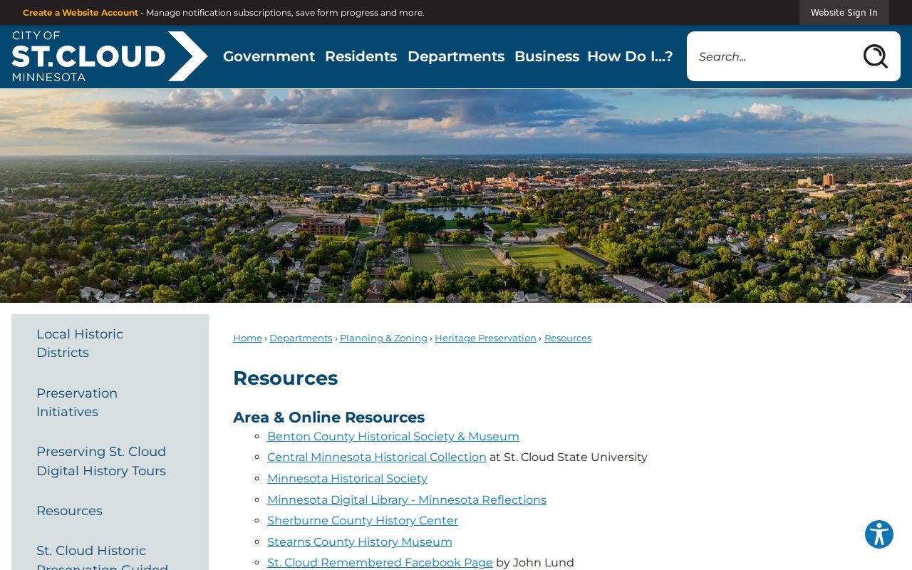
Those links help connect an address trail with the appropriate St. Cloud map, archive, or historic-study source.
St. Cloud Previous Resident Limits
Past residents can be researched for family history, personal history, and the story of an address, but each record has limits. A deed documents a recorded interest, not every past household. A directory entry is an occupant clue, not title proof. Census information uses its own release and geography rules, and the 1890 federal schedules were largely lost nationwide. Obituary index entries lead to a date and page, while the full article comes through microfilm or a library copy request.
Do not use old St. Cloud address information to monitor, threaten, repeatedly contact, or expose a living person. Safe at Home locations, protected voter information, private driver data, and restricted court and vital records remain protected. Verify any uncertain document with the office or archive that holds it, and keep the research tied to a lawful personal purpose.
Lawful use. Previous-resident research belongs to family history, house history, and personal curiosity. Harassing or stalking any person is prohibited.